Streamline fault reporting and work orders
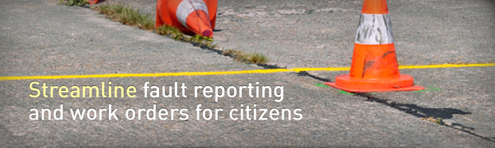
This government agency needed a cohesive system to streamline fault-reporting and works orders for its citizens, and chose mapping solutions from Pitney Bowes Software to increase accuracy. Challenge
A lack of systems integration meant reporting of work orders and faults in the highways system were inefficient and time-consuming for the government agency.
In addition, the orders only incorporated text descriptions of where the work needed to be carried out, wasting both time and money as technicians tended to faults. Real-time information on road works would also be needed to keep call centre staff aware of ongoing issues for drivers. Solution
The agency chose a web mapping tool from Pitney Bowes Software to enhance the ability of contact centres to identify and send the precise coordinate to the SAP CRM system. The geospatial solutions offered by MapInfo Stratus also allowed call centre agents to attach rich location data in communications to technicians.
For further integration, the agency also chose the Pitney Bowes Software asset management system for highways, Confirm, creating a more efficient cycle of systems. Benefits
Related Capabilities
Related Products